Our Notice


Strategic land management is critical for Nepal’s sustainable development, economic growth, and social stability. The concept of a Land Bank provides a structured and forward-looking approach to address these national priorities.
A Land Bank refers to a centralized system where land parcels are identified, acquired, managed, and allocated by the government or authorized institutions for planned development. It serves as a strategic tool to ensure optimal land use while minimizing disputes, fragmentation, and speculation.
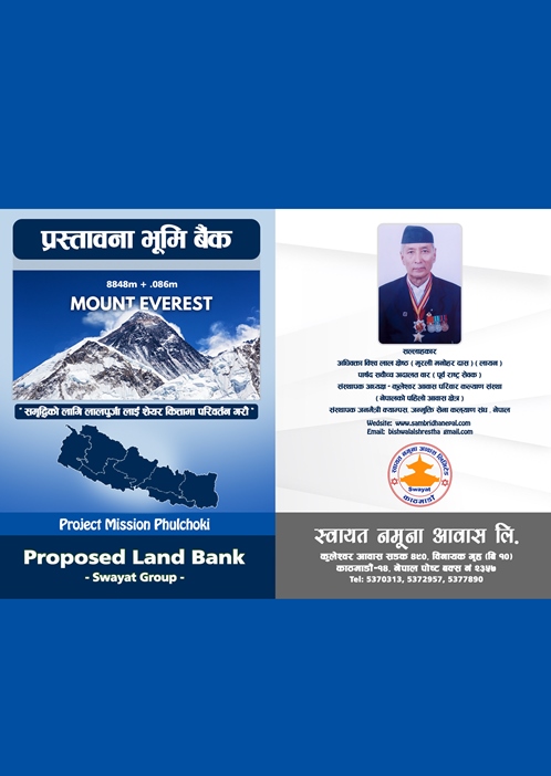
Swayat Namuna Awas Limited, a public company, proposes a structured land bank model tailored specifically to Nepal’s socio-economic and geographic context.
Nepal’s unique geography forms the backbone of its economic, ecological, and cultural identity.
Home to the Himalayas and Mount Everest, characterized by glaciers, deep valleys, and rugged terrain.
Rolling hills and fertile valleys supporting agriculture, settlements, and cultural diversity.
Fertile plains ideal for agriculture, industry, and large-scale development.
Sacred stones from the Kali Gandaki River, contributing to religious tourism and cultural heritage.
The following map highlights the geographical locations of land parcels under the Land Bank initiative of Swayat Namuna Awas Limited. These locations are strategically selected to support agricultural, residential, and industrial development across Nepal.
Kuleshwor Aawas Sadak 490, Binayak Ghriha
Kathmandu, Nepal, P.O 2357
+977 9840497769
bishwalalshrestha@gmail.com
info@sambridhanepal.com
www.samridhanepal.com
By Bishwa Lal Shrestha